 |
 |
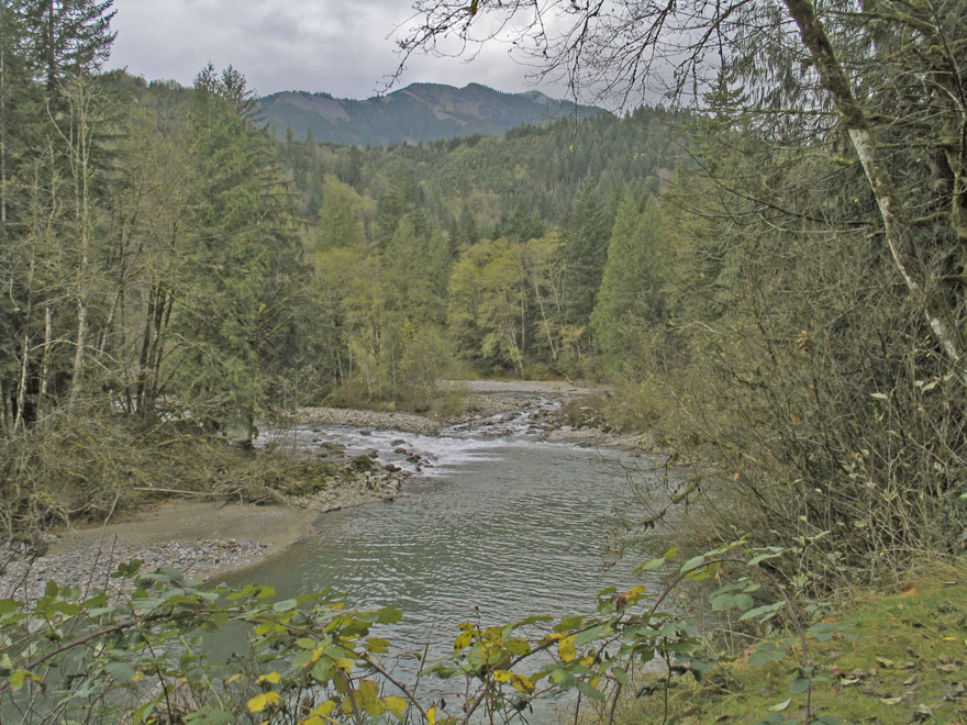 |
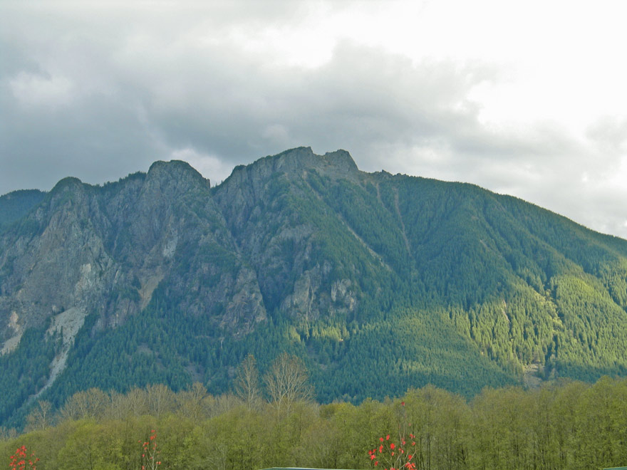
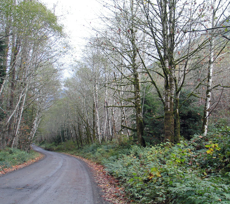
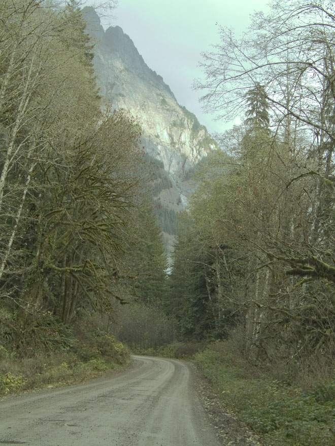
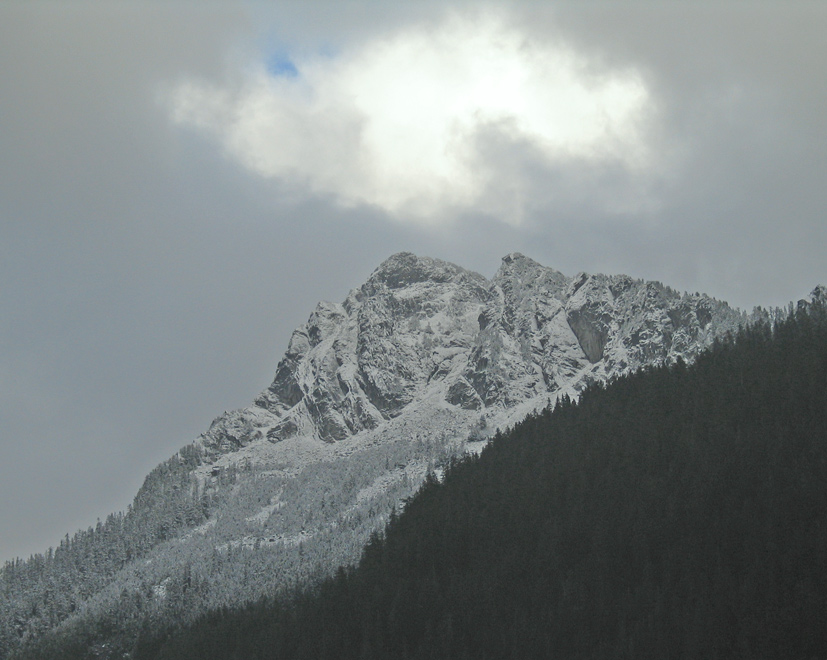
| Mount Si rises to 4,167 ft. right on the egde of North Bend, WA. The Middle Fork of the Snoqualmie flows right along it's base and the North fork joins the Middle Fork near the lower left area of the picture. The day was gray with some ominous clouds, but sunshine would occasionally be visible. | Within a few miles of North Bend, near Grouse Ridge, the pavement ends. The road was smooth sailing, through groves of trees dropping their leaves among the ferns and blackberries. | Here's the Middle Fork of the Snoqualmie looking toward Bessemer Mountain (elev. 5,667 ft.) under threatening skies. There is just a touch of snow on the mountaintop. |
 |
 |
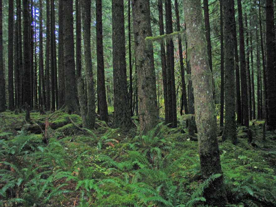 |
| Preacher mountain (elev. 5,924 ft.) gives a home to nearly a dozen mountan lakes, tucked into little basins just at the base of the rock cliffs. | Quartz Mountain (elev. 4,641 ft.) showed a bit of reflected sunshine from the smooth SE facing slope. I wonder if people climb this shiney-looking face? | The emerald shades of the ferns and mosses just begged for a picture. It looks so inviting, but a verdant forest is probably a soggy forest....at least part of the time. |
 |
 |
 |
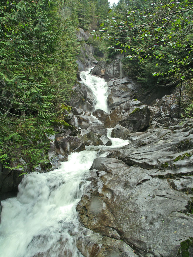
| Dingford Creek Falls mostly originates from the Western slopes of Big Snow Mountain (elev. 6,680 ft.) Some af the little gems that contribute are Pumpkinseed Lake, Merlin Lake, Horseshoe Lake and Snowflake Lake. | Chair Peak (6,238 ft.), Bryant Peak (5,801 ft.) and The Tooth (5,604 ft.). As the crow flies, its not too far behind these peaks to Denny Mountain and the Alpental Ski area. Snow Lake is a short distance North of Alpental and it is the beginning of the South Fork of the Snoqualmie. | The sun finds an opening among the snow clouds to highlight Chikamin Peak (elev.6,926 ft.) in the Alpine Lakes Wilderness Area. |
 |
 |
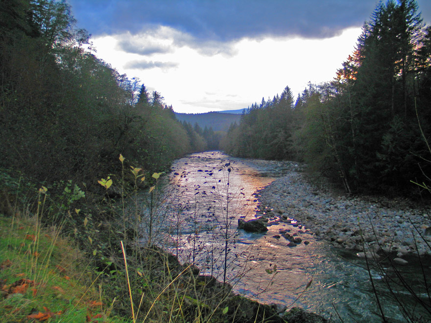 |
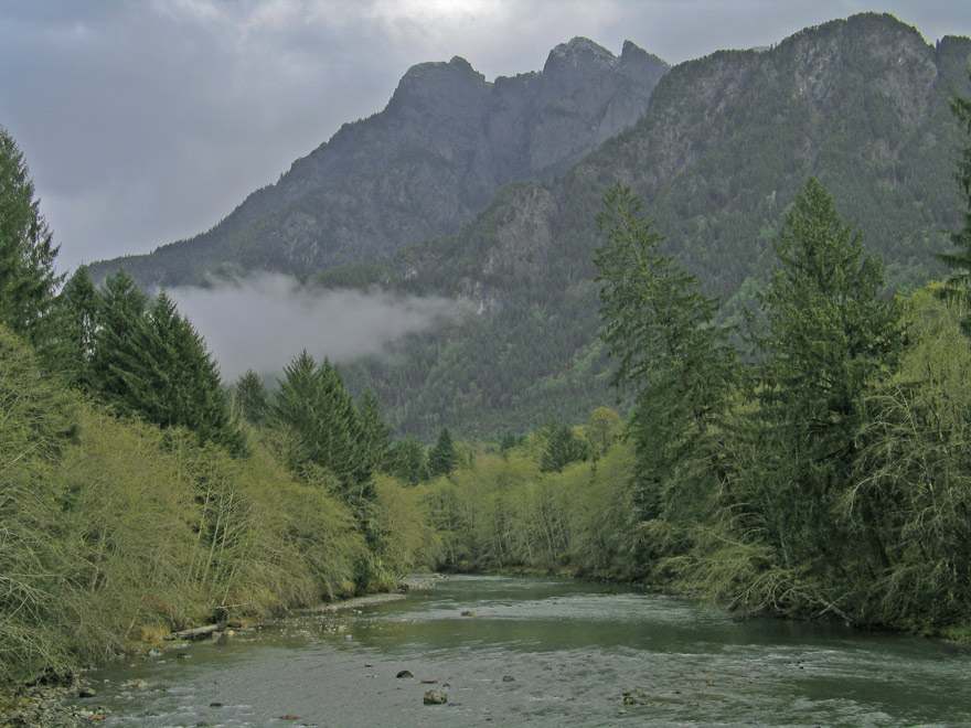
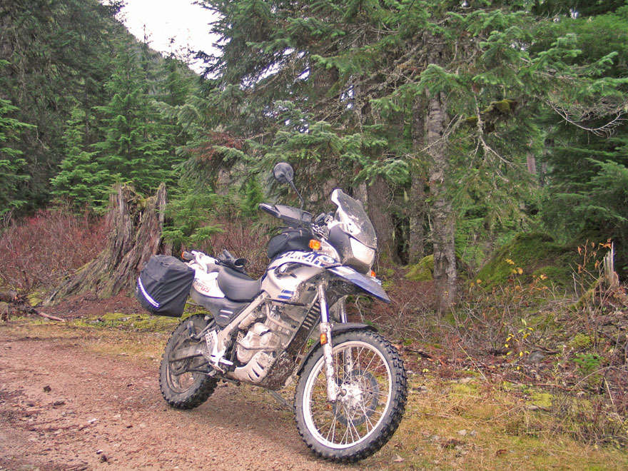
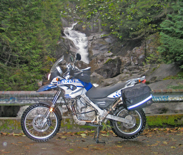
| The road (NDF 5620) ends at a delightful little campground near Hardscrabble Creek; the last mile or two are 4WD or knobbie tire territory. The Dakar gets a well deserved rest. | On the return trip the Dakar gets a photo at Dingford Creek Falls | Almost back to North Bend, I had to get one last photo of the Middle Fork. The foreboding clouds gave me a pass this time. The adventure was a dry one. |
 |
||
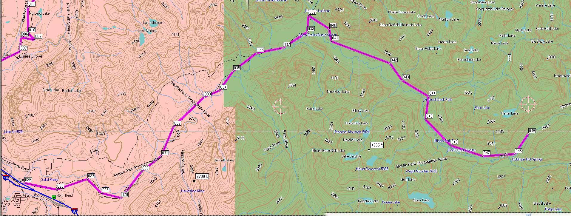
| Here's the Middle Fork route highlighted in purple. Actually, the road continues about a mile beyond what is shown. It is an easy, well maintained road at the beginning, but it gets more and more rugged the the further it goes. The last few miles are deserving of good knobby tires and some ground clearance. The round trip from Carnation, WA is about 90 miles and took me 4.5 hours, but there is alot to this area; many days worth of exploration, expecially if you like short hikes. I didn't go into Goldmyer Hot Springs, about a mile before the end of the road. That will have to be another adventure. | ||
Send me an EMAIL |
||||
Copyright © 2003 Gerald Albertson All Rights Reserved